What is decision intelligence?
Published on: 03 March 2026
Written by Michael Jendryke
You don’t need to look at a map to get value from one.
Controversial? Maybe. But think about it.
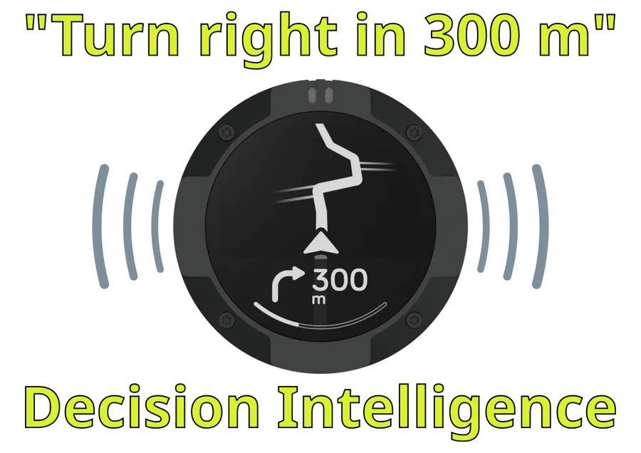
Your navigation system processes routes, traffic patterns, road networks, elevation changes, speed limits, and real-time congestion data. What does it give you? A voice saying “turn left in 200 meters.” Maybe an arrow. Maybe a quick glance to verify.
You’re not studying a map. You’re receiving a decision extracted from spatial data. And you can trust it in 99.99999% of the cases.
The map did its job. You never saw it.
Here’s where this gets interesting: Precision agriculture: A farmer doesn’t stare at satellite imagery of 500 hectares. The system analyzes NDVI, soil moisture, thermal patterns, and topography and the output is: “Apply 15% more nitrogen in zone 3.” One number. One action.
Insurance risk modeling: Underwriters don’t examine flood maps for every property. The model ingests elevation data, historical flooding, drainage patterns, proximity to water bodies, and soil permeability. The output? A risk score. Premium calculated.
Environmental monitoring: Policy makers don’t analyze 65 petabytes of Sentinel satellite data. The system processes multi-spectral imagery, temporal changes, land cover classification, and biomass estimates. The output? “European forest cover increased 2.1% this year.” One trend. Clear signal.
The pattern: massive spatial complexity → algorithmic processing → actionable answer.
We’ve been trained to think that working with spatial data means looking at maps. That geographic analysis means visual interpretation. That you need a cartographer to make sense of location. True in many cases - ineffective in other cases. As you happily trust your navigation system, we need to up our confidence in data driven analytics where you may not understand every sensor, every pixel, every algorithm, but what you get instead is volume and multi-source analytics.
But most valuable spatial decisions don’t require you to see anything. The question isn’t “can you show me on a map?” The question is “what decision are you trying to make?”
If you need to know where a specific building is, yes, look at a map. If you need to route 10,000 deliveries optimally, no map will help you. You need the answer, not the visualization.
This is why I’ve been obsessed with spatial tokenization and how AI understands location. Because the future of spatial data isn’t about making prettier maps. It’s about decision intelligence and making informed choices faster; often without looking at a map at all.
The map is the interface we inherited from paper. The value is the decision it enables.